Open source geoscience is _________________

As I wrote yesterday, I was at the Open Source Geoscience workshop at EAGE Vienna 2016 on Monday. Happily, the organizers made time for discussion. However, what passes for discussion in the traditional conference setting is, as I've written before, stilted.

What follows is not an objective account of the proceedings. It's more of a poorly organized collection of soundbites and opinions with no real conclusion... so it's a bit like the actual discussion itself.

TL;DR The main take home of the discussion was that our community does not really know what to do with open source software. We find it difficult to see how we can give stuff away and still make loads of money. 

I'm not giving away my stuff

Paraphrasing a Schlumberger scientist:

Schlumberger sponsors a lot of consortiums, but the consortiums that will deliver closed source software are our favourites.

I suppose this is a way to grab competitive advantage, but of course there are always the other consortium members so it's hardly an exclusive. A cynic might see this position as a sort of reverse advantage — soak up the brightest academics you can find for 3 years, and make sure their work never sees the light of day. If you patent it, you can even make sure no-one else gets to use the ideas for 20 years. You don't even have to use the work! I really hope this is not what is going on.

I loved the quote Sergey Fomel shared; paraphrasing Matthias Schwab, his former advisor at Stanford: 

Never build things you can't take with you.

My feeling is that if a consortium only churns out closed source code, then it's not too far from being a consulting shop. Apart from the cheap labour, cheap resources, and no corporation tax.

Yesterday, in the talks in the main stream, I asked most of the presenters how people in the audience could go and reproduce, or simply use, their work. The only thing that was available was a commerical OpendTect plugin of dGB's, and one free-as-in-beer MATLAB utility. Everything else was unavailble for any kind of inspection, and in one case the individual would not even reveal the technology framework they were using.

Support and maintenance

Paraphrasing a Saudi Aramco scientist:

There are too many bugs in open source, and no support. 

The first point is, I think, a fallacy. It's like saying that Wikipedia contains inaccuracies. I'd suggest that open source code has about the same number of bugs as proprietary software. Software has bugs. Some people think open source is less buggy; as Linus Torvalds said: "Given enough eyeballs, all bugs are shallow." Kristofer Tingdahl (dGB) pointed out that the perceived lack of support is a business opportunity for open source community. Another participant mentioned the importance of having really good documentation. That costs money of course, which means finding ways for industry to support open source software development.

The same person also said something like:

[Open source software] changes too quickly, with new versions all the time.

...which says a lot about the state of application management in many corporations and, again, may represent opportunity rather than a threat to open source movement.

Only in this industry (OK, maybe a couple of others) will you hear the impassioned cry, "Less change!" 

The fog of torpor

When a community is falling over itself to invent new ways to do things, create new value for people, and find new ways to get paid, few question the sharing and re-use of information. And by 'information' I mean code and data, not a few PowerPoint slides. Certainly not all information, but lots. I don't know which is the cause and which is the effect, but the correlation is there.

In a community where invention is slow, on the other hand, people are forced to be more circumspect, and what follows is a cynical suspicion of the motives of others. Here's my impression of the dynamic in the room during the discussion on Monday, and of course I'm generalizing horribly:

  • Operators won't say what they think in front of their competitors
  • Vendors won't say what they think in front of their customers and competitors
  • Academics won't say what they think in front of their consortium customers sponsors
  • Students won't say what they think in front of their advisors and potential employers

This all makes discussion a bit stilted. But it's not impossible to have group discussions in spite of these problems. I think we achieved a real, honest conversation in the two Unsessions we're done in Calgary, and I think the model we used would work perfectly in all manner of non-technical and in technical settings. We just have to start doing it. Why our convention organizers feel unable to try new things at conferences is beyond me.

I can't resist finishing on something a person at Chevron said at the workshop:

I'm from Chevron. I was going to say something earlier, but I thought maybe I shouldn't.

This just sums our industry up.

Open source FWI, I mean geoscience

I'm being a little cheeky. Yesterday's Open Source Geoscience workshop at EAGE was not really only about full waveform inversion (FWI). True, it was mostly about geophysics, but there was quite a bit of new stuff too.

But there was quite a bit on FWI.

The session echoed previous EAGE sessions on the same subject in 2006 and 2012, and was chaired by Filippo Broggini (of ETH Zürich), Sergey Fomel (University of Texas), Thomas Günther (LIAG Hannover), and Russell Hewett (Total, unfortunately not present). It started with a look at core projects like Madagascar and OpendTect. There were some (for me) pretty hard core, mathematics-heavy contributions. And we got a tour of some new and newish projects that are seeking users and/or contributors. Rather than attempting to cover everything, I'm going to exercise my (biased and ill-gotten) judgment and focus on some highlights from the day.

Filippo Broggini started by reminding us of why Joe Dellinger (BP) started this recurrent workshop a decade ago. Here's how Joe framed the value of open source to our community:

The economic benefits of a collaborative open-source exploration and production processing and research software environment would be enormous. Skilled geophysicists could spend more of their time doing innovative geophysics instead of mediocre computer science. Technical advances could be quickly shared and reproduced instead of laboriously re-invented and reverse-engineered. Oil companies, contractors, academics, and individuals would all benefit.

Did I mention that he wrote that 10 years ago?

Lessons learned from the core projects

Kristofer Tingdahl (dGB) then gave the view from his role as CEO of dGB Earth Sciences, the company behind OpendTect, the free and open source geoscience interpretation tool. He did a great job of balancing the good (their thousands of users, and their SEG Distinguished Achievement Award 2016) with the less good (the difficulty of building a developer community, and the struggle to get beyond only hundreds of paying users). His great optimism and natural business instinct filled us all with hope.

The irrepressible Sergey Fomel summed up 10 years of Madagascar's rise. In the journey from v0.9 to v2.0, the projects has moved from SourceForge to GitHub, gone from 6 to 72 developers, jumped from 30 to 260 reproducible papers, and been downloaded over 40 000 times. He also shared the story of his graduate experience at Stanford, where he was involved in building the first 'reproducible science' system with Jon Claerbout in the early 1990s. Un/fortunately, it turned out to be unreproducible, so he had to build Madagascar.

It's not (yet?) a core project, but John Stockwell (Colorado School of Mines) talked about OpenSeaSeis and barely mentioned SeismicUnix. This excellent little seismic processing project is now owned by CSM, after its creator, Bjoern Olofsson, had to give it up when he went to work for a corporation (makes sense, right? o_O ). The tool includes SeaView, a standalone SEGY viewer, as well as a graphical processing flow composer called XSeaSeis. IT prides itself on its uber-simple architecture (below). Want a gain step? Write gain.so and you're done. Perfect for beginners.

Jeffrey Shragge (UWA), Bob Clapp (SEP), and Bill Symes (Rice) provided some perspective from groups solving big math problems with big computers. Jeff talked about coaxing Madgascar — or M8R as the cool kids apparently refer to it — into the cloud, where it can chomp through 100 million core hours without setting tings on fire. This is a way for small enterprises and small (underfunded) research teams to get big things done. Bob told us about a nifty-looking HTML5 viewer for subsurface data... which I can't find anywhere. And Bill talked about 'mathematical fidelty'. and its application to solving large, expensive problems without creating a lot of intermediate data. His message: the mathematics should provide the API.

New open source tools in geoscience

The standout of the afternoon for me was University of Vienna post-doc Eun Young Lee's talk about BasinVis. The only MATLAB code we saw — so not truly open source, though it might be adapted to GNU Octave — and the only strictly geological package of the day. To support her research, Eun Young has built a MATLAB application for basin analysis, complete with a GUI and some nice visuals. This one shows a geological surface, gridded in the tool, with a thickness map projected onto the 'floor' of the scene:

I'm poorly equipped to write much about the other projects we heard about. For the record and to save you a click, here's the list [with notes] from my 'look ahead' post:

  • SES3D [presented by Alexey Gokhberg], a package from ETHZ for seismic modeling and inversion.
  • OpenFOAM [Gérald Debenest], a new open source toolbox for fluid mechanics.
  • PyGIMLi [Carsten Rücker], a geophysical modeling and inversion package.
  • PySIT [Laurent Demanet], the Python seismic imaging toolbox that Russell Hewett started while at MIT.
  • Seismic.jl [Nasser Kazemi] and jInv [Eldad Haber], two [modeling and inversion] Julia packages.

My perception is that there is a substantial amount of overlap between all of these packages except OpenFOAM. If you're into FWI you're spoilt for choice. Several of these projects are at the heart of industry consortiums, so it's a way for corporations to sponsor open source projects, which is awesome. However, most of them said they have closed-source components which only the consortium members get access to, so clearly the messaging around open source — the point being to accelerate innovation, reduce bugs, and increase value for everyone — is missing somewhere. There's still this idea that secrecy begets advantage begets profit, but this idea is wrong. Hopefully the other stuff, which may or may not be awesome, gets out eventually.


I gave a talk at the end of the day, about ways I think we can get better at this 'openness' thing, whatever it is. I will write about that some time soon, but in the meantime you're welcome to see my slides here.

Finally, a little time — two half-hour slots — was set aside for discussion. I'll have a go at summing that up in another post. Stay tuned!

BasinVis image © 2016 Eun Young Lee, used with permission. OpenSeaSeis image © 2016 Center for Wave Phenomena

READY PLAYER 1

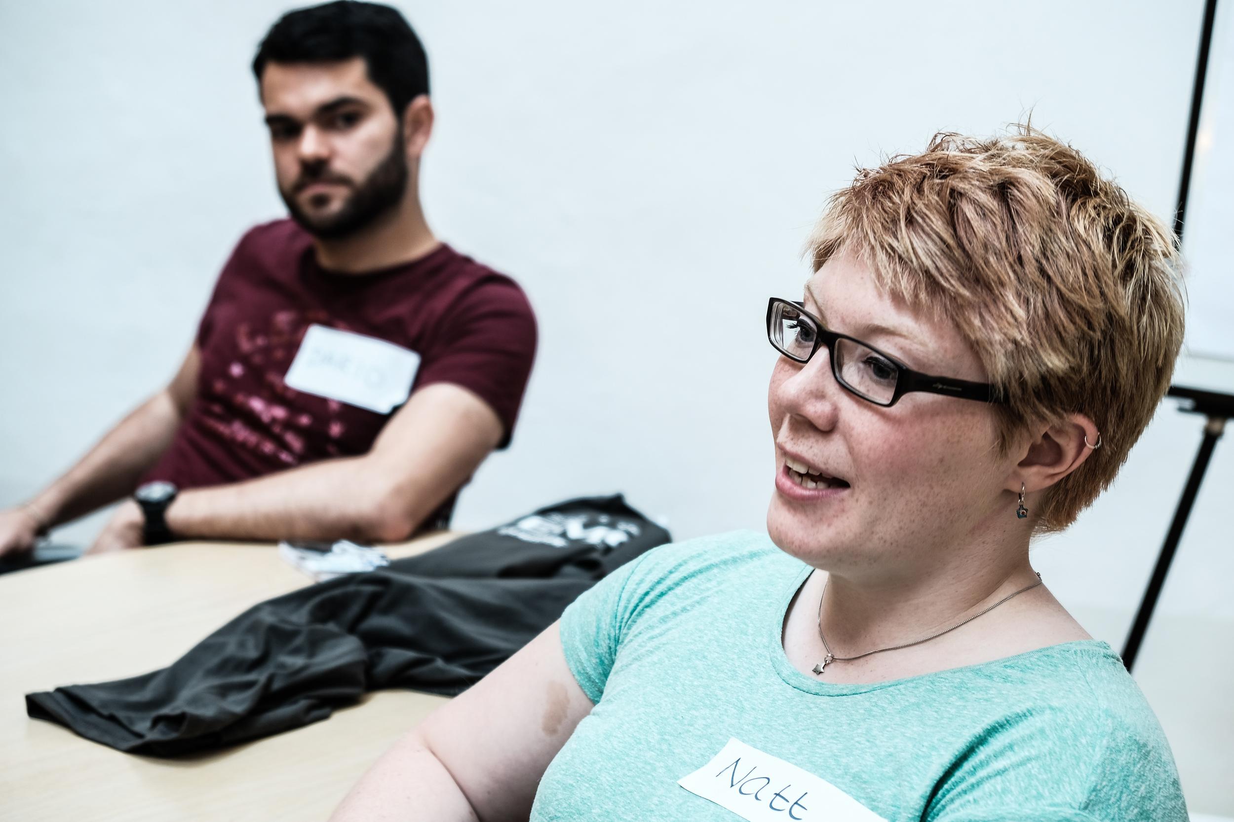
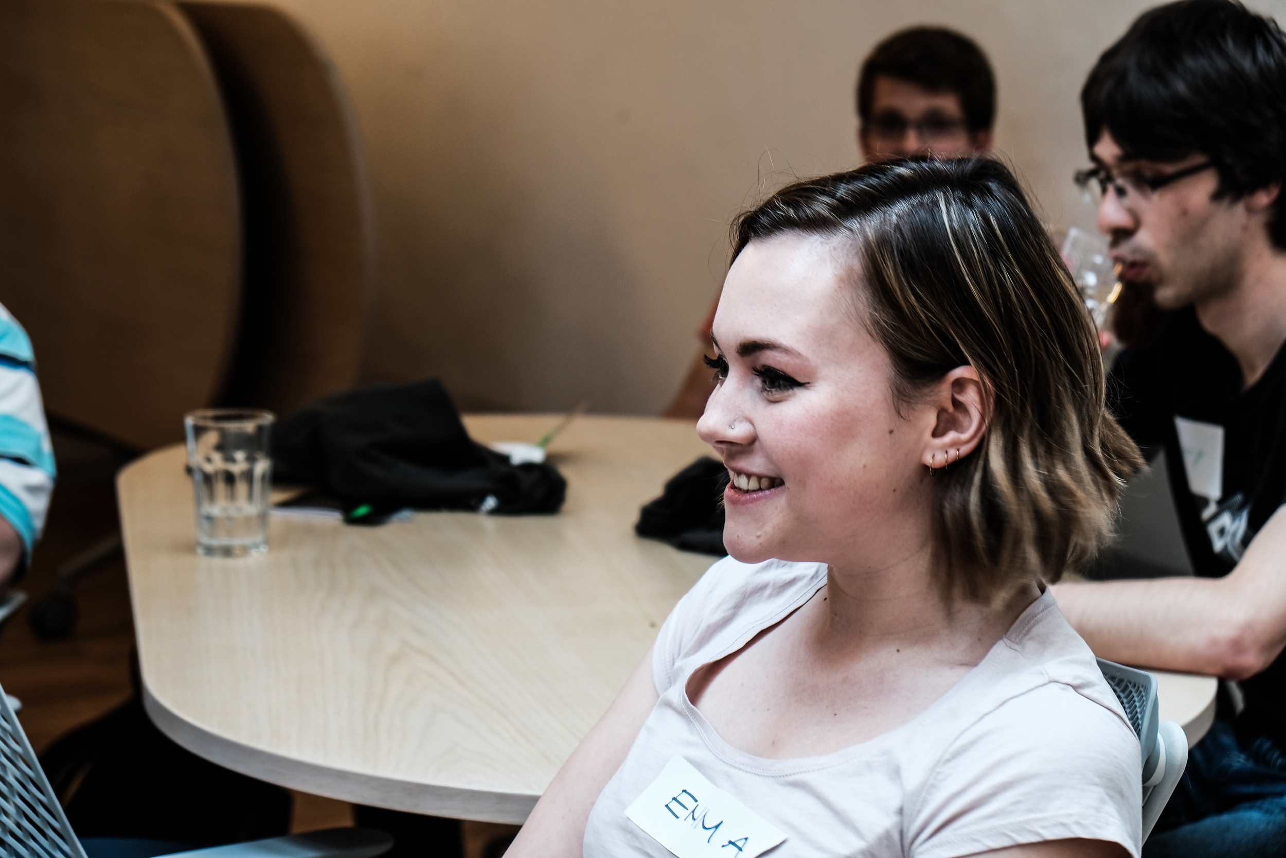
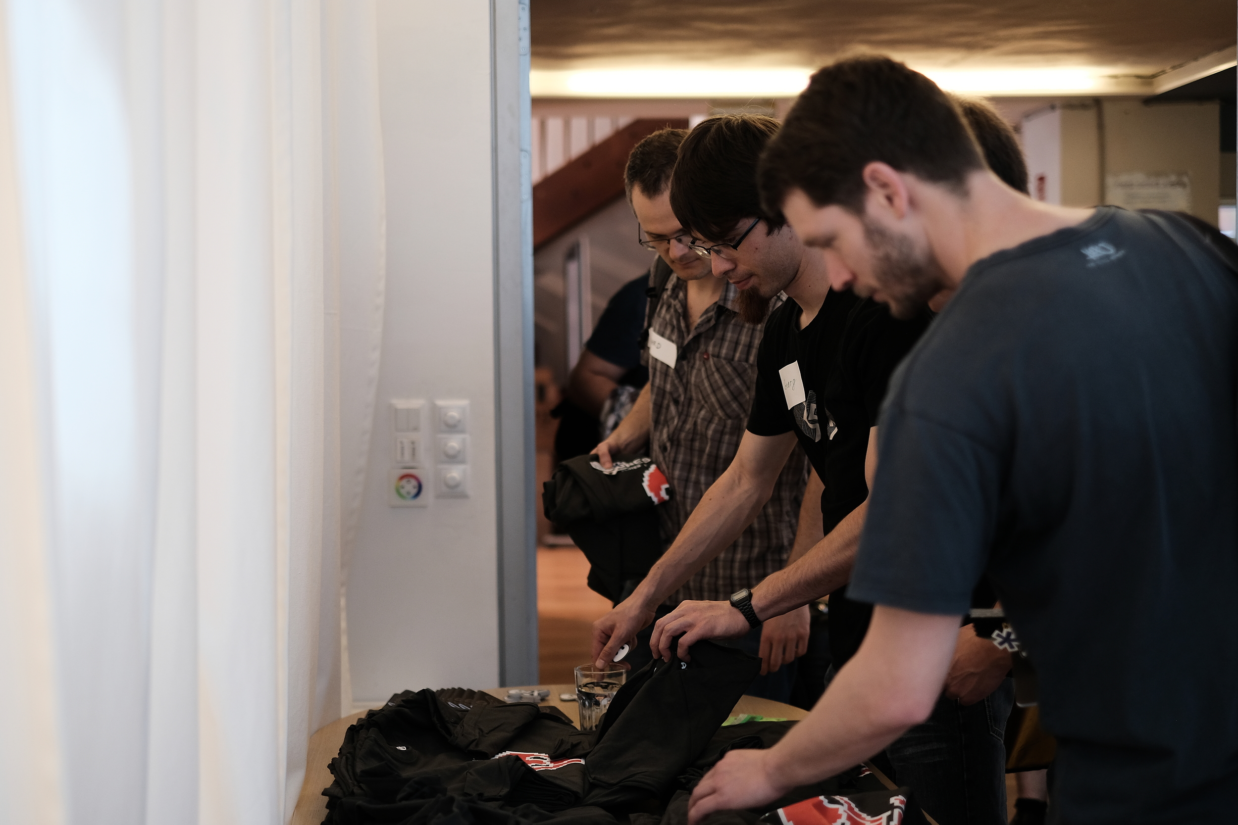
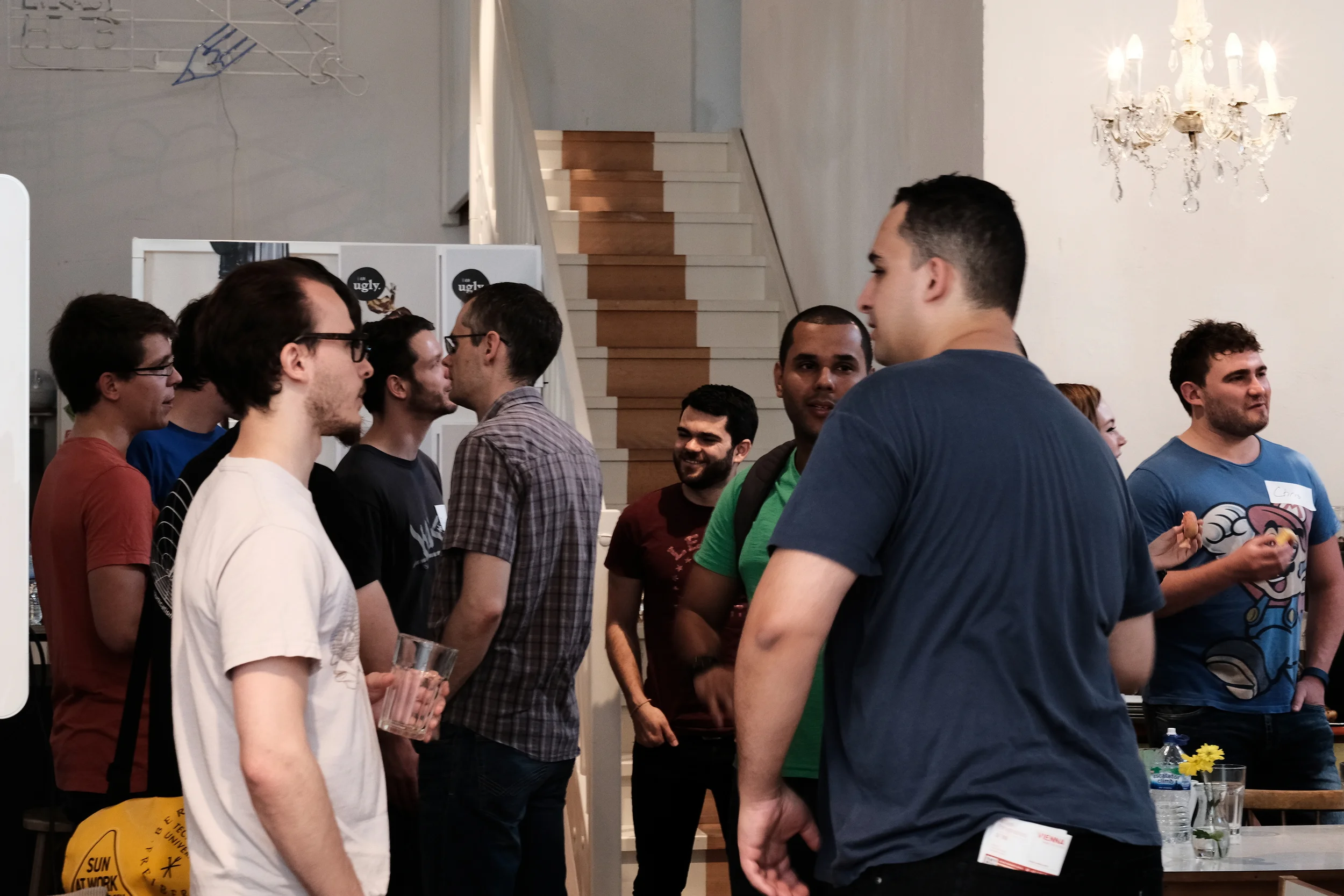
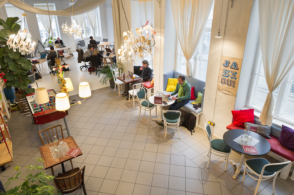
The Subsurface Hackathon 2016 is over! Seventeen hackers gathered for the weekend at Impact HUB Vienna — an awesome venue and coworking space — and built geoscience-based games. I think it was the first geoscience hackathon in Europe, and I know it was the first time a bunch of geoscientists have tried to build games for each other in a weekend.

What went on 

The format of the event was the same as previous events: gather on Saturday, imagine up some projects, start building them by about 11 am, and work on them until Sunday at 4. Then some demos and a celebration of how amazingly well things worked out. All interspersed with coffee, food, and some socializing. And a few involuntary whoops of success.

What we made

The projects were all wonderful, but in different ways. Here's a quick look at what people built:

  • Trap-tris — a group of lively students from the University of Leeds and the Technical University of Denmark built a version of Tetris that creates a dynamic basin model. 
  • Flappy Seismic — another University of Leeds student, one from Imperial College, and a developer from Roxar, built a Flappy Bird inspired seismic interpretation game.
  • DiamonChaser (sic) — a team of devs from Giga Infosystems in Freiberg built a very cool drilling simulation game (from a real geomodel) aimed at young people.
  • Guess What — a developer from Spain and two students from UNICAMP in Brazil built a 'guess the reflection coefficient' game for inverting seismic.

I will write up the projects properly in a week or two (this time I promise :) so you can see some screenshots and links to repos and so on... but for now here are some more pictures of the event.

The fun this year was generously sponsored by EMC. David Holmes, the company's CTO (Energy), spent his weekend hanging out at the venue, graciously mentoring the teams and helping to provide some perspective or context, and help carrying pizza boxes through the streets of Vienna, when it was needed.


Click on the hackathon tag below to read about previous hackathons

Look ahead to EAGE 2016

I'm in Vienna for the 78th EAGE Conference and Exhibition, at Wien Messe, starting on Sunday. And, of course, for the Subsurface Hackathon, which I've already mentioned a few times. 

The hackathon, is, as usual, over the weekend. It starts tomorrow, in this amazing coworking space. That's @JesperDramsch there, getting ready for the hackathon!

I know this doesn't suit everyone, but weekdays don't suit everyone either. I've also always wanted to get people out of 'work mode', into the idea that they can create whatever they want. Maybe we'll try one during the week some time; do let me know what you think about it in the comments. Feedback helps.

Don't worry, you will hear more about the hackathon. Stay tuned.

Open source software in applied geosciences

The first conference event I'll be at is the workshop on open source software. This follows up on similar get-togethers in Copenhagen in 2012 and in Vienna in 2006. I hope the fact that the inter-workshop interval is getting shorter is a sign that open source geoscience software is gaining traction!

The workshop is being organized by Filippo Broggini (of ETH Zürich), Sergey Fomel (University of Texas), Thomas Günther (LIAG Hannover), and Russell Hewett (Total). They have put together a great-looking program. In the morning, Kristofer Tingdahl (CEO of dGB Earth Sciences) will talk about business models for open source. Then Sergey Fomel will update us on Madagascar seismic processing toolbox. Finally, in a series of talks, Jeff Shragge (Univ. Western Australia), Bob Clapp (Stanford), and Bill Symes (Rice) will talk about using Madagascar and other geophysical imaging and inversion tools at a large scale and in parallel.

After lunch, there's a veritable parade of updates and new stuff, with all of these projects checking in:

  • OpenSeaSeis, which raised a lot of eyebrows in 2012 for its general awesomeness. Now a project at Colorado School of Mines.
  • SES3D, a package from ETHZ for seismic waveform modeling and inversion.
  • BasinVis, a MATLAB program for modeling basin fill and subsidence (woo! Open source geology!!)
  • OpenFOAM, a new open source toolbox for fluid mechanics.
  • PyGIMLi, a geophysical modeling and inversion package.
  • PySIT, the Python seismic imaging toolbox that Russell Hewett started while at MIT.
  • Seismic.jl and jInv (that's j-inv), two Julia packages you need to know about.

Aaaand at the very end of the day, is a talk from your truly on 'stuff we can do to get more open source goodness in geoscience'. I'll post some version of the talk here when I can.

Talks and stuff

I don't have any plans for Tuesday and Wednesday, other than taking in some talks and posters. I'm missing Thursday. Picking talks is hard, especially when there are 15 (yup) parallel sessions,... and that's just the oral presentations. (Hey! Conference organizer people! That's crazy!) These conference apps that get ever-so-slightly-better each year won't be really useful until they include a recommendation engine of some sort. I'd like two kinds of recommendation: "stuff that's aligned with my interests but you will disagree with everyone in there", and "stuff that doesn't seem to be aligned with my interests, but maybe it really is".

Oh and also "stuff that isn't too far away from the room I'm in right now because I only have 80 seconds to get there".

Anyway, I haven't chosen my sessions yet, let alone started to trawl through the talk titles. You can probably guess the session titles — Carbonate Petrophysics, Multiple Attenuation, Optimizing Full Waveform Marine Acquisition for Quantitative Exploration II (just kidding).

There are some special sessions I may seek out. There's one for professional women in geoscience and engineering, and two for young professionals, one of which is a panel discussion. Then there are two 'dedicated sessions': Integrated Data for Geological and Reservoir Models, and Towards Exascale Geophysical Applications, which sounds intriguing... but their programmes look like the usual strings of talks, so I'm not sure why they're singled out. There's also something called EAGE Forum, but I can't tell what that is.


Arbitrary base 10 milestone!

I don't pay as much attention to blog stats as I used to, but there is one number that I've been keeping an eye on lately: the number of posts. This humble little post is the 500th on this blog! Kind of amazing, though I'm not sure what it says about me and Evan, in terms of making sound decisions about how we spend our evenings. I mean, if each post is 600 words,... that's two good-sized novels!

I'm not saying they're good novels...

The images of the Impact HUB Vienna that don't have Jesper in them are CC-BY-SA by the HUB.

A European geo-gaming hackathon

I'm convinced that hackathons are the best way to get geoscientists and engineers inventing and collaborating in new ways. They are better for learning than courses. They are better for networking than parties. And they nearly always have tacos! 

If you are unsure what a hackathon is, or why I'm so enthusiastic about them, you can read my November article in the Recorder (Hall 2015, CSEG Recorder, vol 40, no 9).

The next hackathon will be 28 and 29 May in Vienna, Austria — right before the EAGE Conference and Exhibition. You can sign up right now! Please get it in your calendar and pass it along.

Throwing down the gauntlet

Colorado School of Mines has dominated the student showing at the last 2 autumn hackathons. I know there are plenty more creative research groups out there. Come out and show the world your awesomeness — in teams of up to 4 people — and spend a weekend learning and coding. Also: there will be beer.

To everyone else: this is not a student event, it's for everyone. Most of the participants in the past have been professionals, but the more diverse it is, the more we all get out of it. So don't ask yourself if you'll fit in — you will. 

A word about the fee

Our previous hackathons have been free, but this one has a small fee. It's an experiment. Like most free events, no-shows are a challenge; I'm hoping the fee reduces the problem. If the fee makes it difficult for you to join us, please get in touch — I do not want it to be a barrier.

Just to be clear: these events do not make money. Previous events have been generously sponsored — and that's the only way they can happen. We need support for this one too: if you're a champion of creativity in science and want to support this event, you can find me at matt@agilegeoscience.com, or you can read more about sponsorship here.

Details

The dates are 28 and 29 May. The event will run 8 till 6 (or so) on both the Saturday and the Sunday. We don't have a venue finalized yet. Ideas and contributions of any kind are welcome — this is a community event.

The theme this year will be Games. If you have ideas, share them in the comments! Here are some random project ideas to get you going...

  • Acquisition optimizer: lay out the best geometry to image the geology.
  • Human inversion: add geological layers to match a seismic trace.
  • Drill wells on a budget to make the optimal map of an unseen surface.
  • Which geological section matches the (noisy) seismic section?
  • Top Trumps for global 3D seismic surveys, with data scraped from press releases.
  • Set up the best processing flow based for a modeled, noisy shot gather.

It's going to be fun! If you're traveling to EAGE this year, I hope we see you there!


Photo of Vienna by Nic Piégsa, CC-BY. Photo of bridge by Dragan Brankovic, CC-BY.

Images as data

I was at the Atlantic Geoscience Society's annual meeting on Friday and Saturday, held this year in a cold and windy Truro, Nova Scotia. The AGS is a fairly small meeting — maybe a couple of hundred geoscientists make the trip — but usually good value, especially if you're working in the area. 

A few talks and posters caught my attention, as they were all around a similar theme: getting data from images. Not in an interpretive way, though — these papers were about treating images fairly literally. More like extracting impedance from seismic than, say, making a horizon map.

Drone to stereonet

Amazing 3D images generated from a large number of 2D images of outcrop. LEft: the natural colour image. Middle: all facets generated by point cloud analysis. Right: the final set of human-filtered facets. © Joseph Cormier 2016

Amazing 3D images generated from a large number of 2D images of outcrop. LEft: the natural colour image. Middle: all facets generated by point cloud analysis. Right: the final set of human-filtered facets. © Joseph Cormier 2016

Probably the most eye-catching poster was that of Joseph Cormier (UNB), who is experimenting with computer-assisted structural interpretation. Using dozens of high-res photographs collected by a UAV, Joseph combines them to create reconstruct the 3D scene of the outcrop — just from photographs, no lidar or other ranging technology. The resulting point cloud reveals the orientations of the outcrop's faces, as well as fractures, exposed faults, and so on. A human interpreter can then apply her judgment to filter these facets to groups of tectonically significant sets, at which point they can be plotted on a stereonet. Beats crawling around with a Brunton or Suunto for days!

Hyperspectral imaging

There was another interesting poster by a local mining firm that I can't find in the abstract volume. They had some fine images from CoreScan, a hyperspectral imaging and analysis company operating in the mining industry. The technology, which can discern dozens of rock-forming minerals from their near infrared and shortwave infrared absorption characteristics, seems especially well-suited to mining, where mineralogical composition is usually more important than texture and sedimentological interpretation. 

Isabel Chavez (SMU) didn't need a commercial imaging service. To help correlate Laurasian shales on either side of the Atlantic, she presented results from using a handheld Konica-Minolta spectrophotometer on core. She found that CIE L* and a* colour parameters correlated with certain element ratios from ICP-MS analysis. Like many of the students at AGS, Isabel was presenting her undergraduate thesis — a real achievement.

Interesting aside: one of the chief applications of colour meters is measuring the colour of chips. Fascinating.

The hacker spirit is alive and well

The full spectrum (top), and the CCD responses with IR filter, Red filter, green filter, and blue filter (bottom). All of the filters admitted some infrared light, causing problems for calibration. © Robert McEwan 2016.

The full spectrum (top), and the CCD responses with IR filter, Red filter, green filter, and blue filter (bottom). All of the filters admitted some infrared light, causing problems for calibration. © Robert McEwan 2016.

After seeing those images, and wishing I had a hyperspectral imaging camera, Rob McEwan (Dalhousie) showed how to build one! In a wonderfully hackerish talk, he showed how he's building a $100 mineralogical analysis tool. He started by removing the IR filter from a second-hand Nikon D90, then — using a home-made grating spectrometer — measured the CCD's responses in the red, green, blue, and IR bands. After correcting the responses, Rob will use the USGS spectral library (Clark et al. 2007) to predict the contributions of various minerals to the image. He hopes to analyse field and lab photos at many scales. 

Once you have all this data, you also have to be able to process it. Joshua Wright (UNB) showed how he has built a suite of VisualBasic Macros to segment photomicrographs into regions representing grains using FIJI, then post-process the image data as giant arrays in an Excel spreadsheet (really!). I can see how a workflow like this might initially be more accessible to someone new to computer programming, but I felt like he may have passed Excel's sweetspot. The workflow would be much smoother in Python with scikit-image, or MATLAB with the Image Processing Toolbox. Maybe that's where he's heading. You can check out his impressive piece of work in a series of videos; here's the first:

Looking forward to 2016

All in all, the meeting was a good kick off to the geoscience year — a chance to catch up with some local geoscientists, and meet some new ones. I also had the chance to update the group on striplog, which generated a bit of interest. Now I'm back in Mahone Bay, enjoying the latest winter storm, enjoying the feeling of having something positive to blog about!

Please be aware that, unlike the images I usually include in posts, the images in this post are not open access and remain the copyright of their respective authors.


References

Isabel Chavez, David Piper, Georgia Pe-Piper, Yuanyuan Zhang, St Mary's University (2016). Black shale Selli Level recorded in Cretaceous Naskapi Member cores in the Scotian Basin. Oral presentation, AGS Colloquium, Truro NS, Canada.

Clark, R.N., Swayze, G.A., Wise, R., Livo, E., Hoefen, T., Kokaly, R., Sutley, S.J., 2007, USGS digital spectral library splib06a: U.S. Geological Survey, Digital Data Series 231

Joseph Cormier, Stefan Cruse, Tony Gilman, University of New Brunswick (2016). An optimized method of unmanned aerial vehicle surveying for rock slope analysis, 3D modeling, and structural feature extraction. Poster, AGS Colloquium, Truro NS, Canada.

Robert McEwan, Dalhousie University (2016). Detecting compositional variation in granites – a method for remotely sensed platform. Oral presentation, AGS Colloquium, Truro NS, Canada.

Joshua Wright, University of New Brunswick (2016). Using macros and advanced functions in Microsoft ExcelTM to work effectively and accurately with large data sets: An example using sulfide ore characterizatio. Oral presentation, AGS Colloquium, Truro NS, Canada.

A coding kitchen in Stavanger

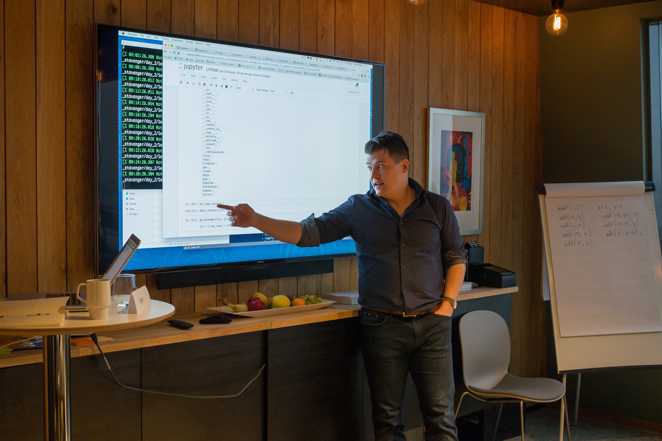
Last week, I travelled to Norway and held a two day session of our Agile Geocomputing Training. We convened at the newly constructed Innovation Dock in Stavanger, and set up shop in an oversized, swanky kitchen. Despite the industry-wide squeeze on spending, the event still drew a modest turnout of seven geoscientists. That's way more traction then we've had in North America lately, so thumbs up to Norway! And, since our training is designed to be very active, a group of seven is plenty comfortable. 

A few of the participants had some prior experience writing code in languages such as Perl, Visual Basic, and C, but the majority showed up without any significant programming experience at all. 

Skills start with syntax and structures 

The first day we covered basic principles or programming, but because Python is awesome, we dive into live coding right from the start. As an instructor, I find that doing live coding has two hidden benefits: it stops me from racing ahead, and making mistakes in the open gives students permission to do the same. 

Using geoscience data right from the start, students learn about key data structures: lists, dicts, tuples, and sets, and for a given job, why they might chose between them. They wrote their own mini-module containing functions and classes for getting stratigraphic tops from a text file. 

Since syntax is rather dry and unsexy, I see the instructor's main role to inspire and motivate through examples that connect to things that learners already know well. The ideal containers for stratigraphic picks is a dictionary. Logs, surfaces, and seismic, are best cast into 1-, 2, and 3-dimensional NumPy arrays, respectively. And so on.

Notebooks inspire learning

We've seen it time and time again. People really like the format of Jupyter Notebooks (formerly IPython Notebooks). It's like there is something fittingly scientific about them: narrative, code, output, repeat. As a learning document, they aren't static — in fact they're meant to be edited. But they aren't so open-ended that learners fail to launch. Professional software developers may not 'get it', but scientists really subscribe do. Start at the start, end at the end, and you've got a complete record of your work. 

You don't get that with the black-box, GUI-heavy software applications we're used to. Maybe, all legitimate work should be reserved for notebooks: self-contained, fully-reproducible, and extensible. Maybe notebooks, in their modularity and granularity, will be the new go-to software for technical work.

Outcomes and feedback

By the end of day two, folks were parsing stratigraphic and petrophysical data from text files, then rendering and stylizing illustrations. A few were even building interactive animations on 3D seismic volumes.  One recommendation was to create a sort of FAQ or cookbook: "How do I read a log?", "How do I read SEGY?", "How do I calculate elastic properties from a well log?". A couple of people of remarked that they would have liked even more coached exercises, maybe even an extra day; a recognition of the virtue of sustained and structured practice.


Want training too?

Head to our courses page for a list of upcoming courses, or more details on how you can train your team


Photographs in this post are courtesy of Alessandro Amato del Monte via aadm on Flickr

Notes from a hackathon

The spirit of invention is alive and well in exploration geophysics! Last weekend, Agile hosted the 3rd annual Geophysics Hackathon at Propeller, a large and very cool co-working space in New Orleans, Louisiana.

A community of creative scientists

Commensurate with the lower-than-usual turnout at the SEG Annual Meeting, which our event preceded, we had 15 hackers. The remaining hackers were not competing, but hanging out and self-teaching or hacking around with code.

As in Denver, we had an amazing showing from Colorado School of Mines, with 6 participants. I don't know what's in the water over there in the Rockies, or what the profs have been feeding these students, but it works. Such smart, creative talent. But it can't stay this one-sided... one day we'll provoke Stanford into competitive geophysics programming.

Other than the Mines crew, we had one other student (Agile's Ben Bougher, who's at UBC), the dynamic wiki duo from SEG, and the rest were professional geoscientists from large and small companies, so it was pretty well balanced between academia and industry.

Thank you

As always, we are indebted to the sponsors and supporters of the hackathon. The event would be impossible without their financial support, and much less fun without their eager participation. This year we teamed up with three companies:

  • OpenGeoSolutions, a fantastic group of geophysicists based in Calgary. You won't find better advice on signal processing problems. Jamie Alison and Greg Partyka also regularly do us the honour of judging our hackathon demos, which is wonderful.
  • EMC, a huge cloud computing company, generously supported us through David Holmes, their representative for our industry, and a fellow Landmark alum. David also kindly joined us for much of the hackathon, including the judging, which was great for the teams.
  • Palladium Consulting, a Houston-based bespoke software house run by Sebastian Good, were a new sponsor this year. Sebastian reached out to a New Orleans friend and business partner of his, Graham Ganssle, to act as a judge, and he was beyond generous with his time and insight all weekend. He also acted as a rich source of local knowledge.

Although he craves no spotlight, I have to recognize the personal generosity of Karl Schleicher of UT Austin, who is one of the most valuable assets our community has. His tireless promotion of open data and open source software is an inspiration.

And finally, Maitri Erwin again visited to judge the demos on Sunday. She brings the perfect blend of a deep and rigorous expertise in exploration geoscience and a broad and futuristic view of technology in the service of humankind. 

I will do a round up of the projects in the next couple of weeks. Look out for that because all of the projects this year were 'different'. In a good way.


If this all sounds like fun, mark your calendars for 2016! I think we're going to try running it after SEG next year, so set aside 22 and 23 October 2016, and we'll see you there. Bring a team!

PS You can already sign up for the hackathon in Europe at EAGE next year!

More highlights from SEG

On Monday I wrote that this year's Annual Meeting seemed subdued. And so it does... but as SEG continued this week, I started hearing some positive things. Vendors seemed pleasantly surprised that they had made some good contacts, perhaps as many as usual. The technical program was as packed as ever. And of course the many students here seemed to be enjoying themselves as much as ever. (New Orleans might be the coolest US city I've been to; it reminds me of Montreal. Sorry Austin.)

Quieter acquisition

Pramik et al. (of Geokinetics) reported on a new marine vibrator acquisition using their AquaVib source. This instrument has been around for a while, indeed it was first tested over 20 years ago by IVI and later Geco (e.g. see J Bird, TLE, June 2003). If perfected, it will allow for much quieter marine seismic acquisition, reducing harm to marine mammals, with no loss of quality (images below from their abstract and their copyright with SEG):

Ben told me one of his favourite talks was Schostak & Jenkerson with a report from a JIP (Shell, ExxonMobil, Total, and Texas A&M) trying to build a new marine vibrator.  Three designs are being tested by the current consortium, respectively manufactured by PGS with an electrical model, APS with a mechanical piston, and Teledyne with a bubble resonator.

In other news:

  • Talks at Dallas 2016 will only be 15 minutes long. Hopefully this is to allow room in the schedule for something else, not just more talks.
  • Dave Hale has retired from Colorado School of Mines, and apparently now 'writes software with Dean Witte'. So watch out for that!
  • A sure sign of industry austerity: "Would you like Bud Light, or Miller Light?"
  • Check out the awesome ribbons that some clever student thought of. I'm definitely pinching that idea.

That's all I have for now, and I'm flying home today so that's it for SEG 2015. I will be reporting on the hackathon soon I promise, and I'll try to get my paper on Pick This recorded next week (but here's a sneak peek). Stay tuned!


References

Bill Pramik, M. Lee Bell, Adam Grier, and Allen Lindsay (2015) Field testing the AquaVib: an alternate marine seismic source. SEG Technical Program Expanded Abstracts 2015: pp. 181-185. doi: 10.1190/segam2015-5925758.1

Brian Schostak* and Mike Jenkerson (2015) The Marine Vibrator Joint Industry Project. SEG Technical Program Expanded Abstracts 2015: pp. 4961-4962. doi: 10.1190/segam2015-6026289.1

Monday highlights from SEG

Ben and I are in New Orleans at the 2015 SEG Annual Meeting, a fittingly subdued affair, given the industry turmoil recently. Lots of people are looking for work, others are thankful to have it.

We ran our annual Geophysics Hackathon over the weekend; I'll write more about that later this week. In a nutshell: despite a low-ish turnout, we had 6 great projects, all of them quite different from anything we've seen before. Once again, Colorado School of Mines dominated.

Beautiful maps

One of the most effective ways to make a tight scientific argument is to imagine trying to convince the most skeptical person you know that your method works. When it comes to seismic attribute analysis, I am that skeptical person.

Some of the nicest images I saw today were in the 'Attributes for Stratigraphic Analysis' session, chaired by Rupert Cole and Yuefeng Sun. For example, Tao Zhao, one of Kurt Marfurt's students, showed some beautiful images from the Waka 3D offshore New Zealand (Zhao & Marfurt). He used 2D colourmaps to co-render two attributes together, along with semblance mapped to opacity on a black layer, and were very nice to look at. However I was left wondering, and not for the first time, how we can do a better job calibrating those maps to geology. We (the interpretation community) need to stop side-stepping that issue; it's central to our credibility. Even if you have no wells, as in this study, you can still use forward models, analogs, or at least interpretation by a sedimentologist, preferably two.

© SEG and Zhao & Marfurt. Left to right: Peak spectral frequency and peak spectral magnitude; GLCM homogeneity; shape index and curvedness. All of the attributes are also corendered with Sobel edge detection.

© SEG and Zhao & Marfurt. Left to right: Peak spectral frequency and peak spectral magnitude; GLCM homogeneity; shape index and curvedness. All of the attributes are also corendered with Sobel edge detection.

Pavel Jilinski at GeoTeric gave a nice talk (Calazans Muniz et al.) about applying some of these sort of fancy displays to a large 3D dataset in Brazil, in a collaboration with Petrobras. The RGB displays of spectral attributes were as expected, but I had not seen their cyan-magenta-yellow (CMY) discontinuity displays before. They map dip to the yellow channel, similarity to the magenta channel, and 'tensor discontinuity' to the cyan channel. No, I don't know what that means either, but the displays were pretty cool.

Publications news

This evening we enjoyed the Editor's Dinner (I coordinate a TLE column and review for Geophysics and Interpretation, so it's totally legit). Good things are coming to the publication world: adopted Canadian Mauricio Sacchi is now Editor-in-Chief, there are no more page charges for colour in Geophysics (up to 10 pages), and watch out for video abstracts next year. Also, Chris Liner mentioned that Interpretation gets 18% of its submissions from oil companies, compared to only 5% for Geophysics. And I heard, but haven't verified, that downturns result in more papers. So at least our journals are healthy. (You do read them, right?)

That's it for today (well, yesterday). More tomorrow!


References

Calazans Muniz, Moises, Thomas Proença, and Pavel Jilinski (2015). Use of Color Blend of seismic attributes in the Exploration and Production Development - Risk Reduction. SEG Technical Program Expanded Abstracts 2015: pp. 1638-1642. doi: 10.1190/segam2015-5916038.1

Zhao, Tao, and Kurt J. Marfurt (2015). Attribute assisted seismic facies classification on a turbidite system in Canterbury Basin, offshore New Zealand. SEG Technical Program Expanded Abstracts 2015: pp. 1623-1627. doi: 10.1190/segam2015-5925849.1