In studying the earth, we can't afford to take enough observations, and they will never be free of noise. So if you say you do geoscience, I hereby challenge you to formulate your work as a mathematical inverse problem. Inversion is a question: given the data, the physical equations, and details of the experiment, what is the distribution of physical properties? To answer this question we must address three more fundamental ones (Scales, Smith, and Treitel, 2001):
- How accurate is the data? Or what does fit mean?
- How accurately can we model the response of the system? Have we included all the physics that can contribute signifcantly to the data?
- What is known about the system independent of the data? There must be a systematic procedure for rejecting unreasonable models that fit the data as well.
Setting up an inverse problem means coming up with the equations that contain the physics and geometry of the system under study. The method for solving it depends on the nature of the system of equations. The simplest is the minimum norm solution, and you've heard of it before, but perhaps under a different name.
To fit is to optimize a system of equations
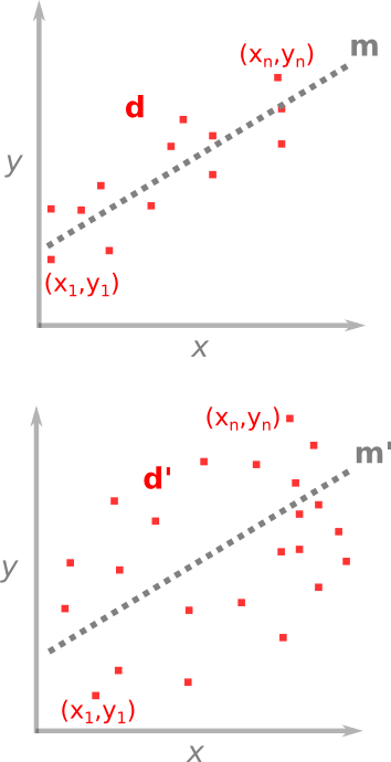 For problems where the number of observations is greater than the number of unknowns, we want to find which unknowns fit the best. One case you're already familiar with is the method of least squares — you've used it fitting a line of through a set of points. A line is unambiguously described by only two parameters: slope a and y-axis intercept b. These are the unknowns in the problem, they are the model m that we wish to solve for. The problem of line-fitting through a set of points can be written out like this,

As I described in a previous post, the system of the problem takes the form d = Gm, where each row links a data point to an equation of a line. The model vector m (M × 1), is smaller than the data d (N × 1) which makes it an over-determined problem, and G is a N × M matrix holding the equations of the system.
Why cast a system of equations in this matrix form? Well, it turns out that the the best-fit line is precisely,
^{-1}G^{T}\mathbf{d} "\large\mathbf{m}=(G^{T}G)^{-1}G^{T}\mathbf{d}")
which are trivial matrix operations, once you've written out G. T means to take the transpose, and –1 means the inverse, the rest is matrix multiplication. Another name for this is the minimum norm solution, because it defines the model parameters (slope and intercept) for which the lengths (vector norm) between the data and the model are a minimum.
One benefit that comes from estimating a best-fit model is that you get the goodness-of-fit for free. Which is convenient because making sense of the earth doesn't just mean coming up with models, but also expressing their uncertainty, in terms of the errors with which they are linked.
I submit to you that every problem in geology can be formulated as a mathematical inverse problem. The benefit of doing so is not just to do math for math's sake, but it is only through quantitatively portraying ambiguous inferences and parameterizing non-uniqueness that we can do better than interpreting or guessing.
Reference (well worth reading!)
Scales, JA, Smith, ML, and Treitel, S (2001). Introductory Geophysical Inverse Theory. Golden, Colorado: Samizdat Press.

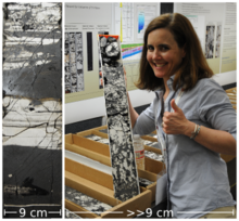
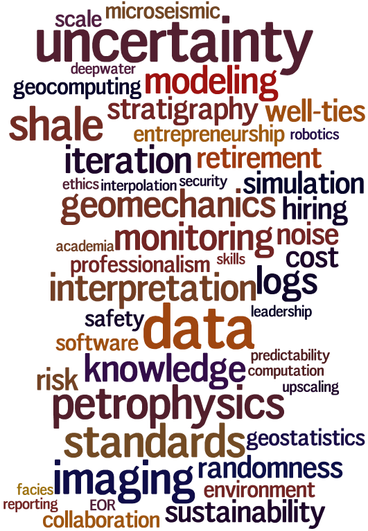
 Two weeks ago today Evan and I hosted a different kind of session at the Canada GeoConvention. It was an experiment in collaboration and integration, and I'm happy to say it exceeded our expectations. We will definitely be doing it again, so if you were there, or even if you weren't, any and all feedback will help ensure the dial goes to 11.
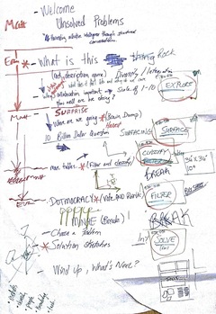
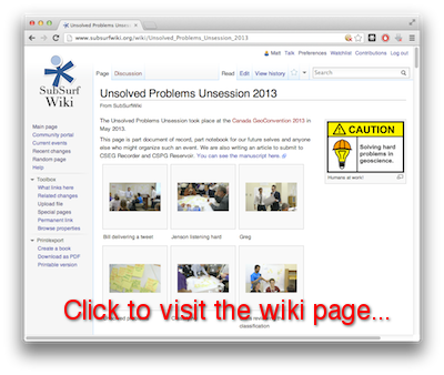 One of the things we wanted from the session was evidence. Evidence of conversation, innovation, and creative thinking. We took home a great roll of paper and sticky notes, and have now captured it all in SubSurfWiki, along with notes from the event. You are invited to read and edit. Be bold! And please share the link...
 We have started a write-up of the morning. If you came to the session, please consider yourself a co-author: your input and comments are welcome. You might be unaccustomed to editing a community document, but don't be shy — that's what it's there for.


 Except where noted, this content is licensed